At a glance
The Office of Islands Affairs collaborates with health officials and non-governmental organizations to strengthen the public health infrastructure and services in the Caribbean and US-Affiliated Pacific Islands (USAPI) with consideration of their unique historical, geographic, social/demographic, and cultural dynamics to maximize public health impact.

About
The Office of Island Affairs (OIA) within CDC's National Center for State, Tribal, Local, and Territorial Public Health Infrastructure and Workforce strengthens public health systems to improve public health outcomes for the US territories and freely associated states by facilitating technical assistance, training, information, funding, and technology transfer.
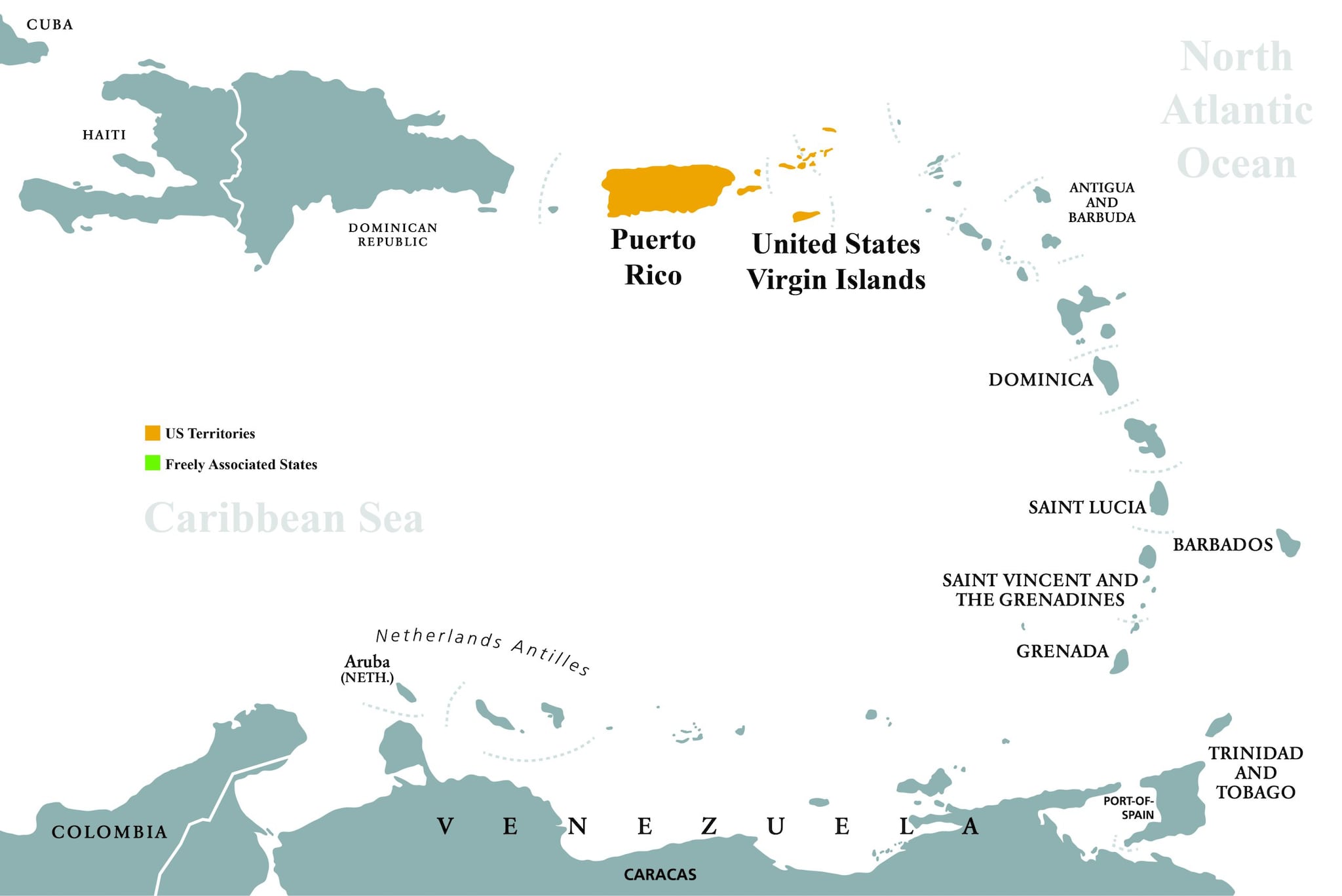
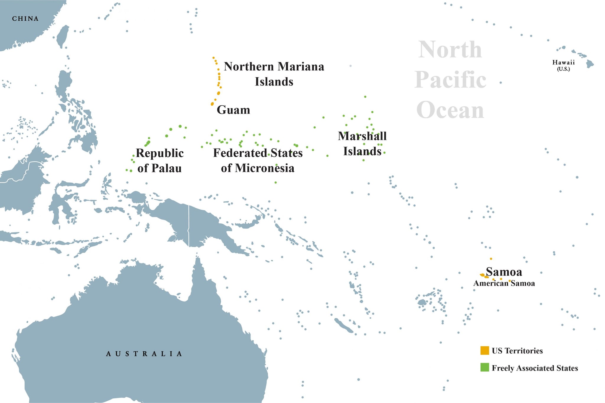
OIA works closely with the five territories (American Samoa, Commonwealth of the Northern Mariana Islands, Guam, Puerto Rico, and the US Virgin Islands) and three freely associated states (Federated States of Micronesia, Republic of Palau, and the Republic of the Marshall Islands), connecting them to CDC programs, funding, and resources to strengthen their public health systems and improve community health.
- Territories are sub-national administrative divisions overseen by the US government.
- Freely associated states are independent nations that have signed a comprehensive agreement with the US called a "Compact of Free Association," which governs diplomatic, economic, and military relations with the US.


